Topography
LEVANTAMIENTO TOPOGRÁFICO: INTRUMENTOS Y AVANCE ALCANZADO HASTA NUESTROS DÍAS
Geographic Information System / Topography
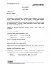
Calculo Del Azimut y Coordenadas
Azimuth / Topography
ENCUADRE DEL CURSO DE TOPOGRAFÍA 2012
Topography / Geomatics
Poligoal Abierta Metodo de Azimut
Azimuth / Topography
Laboratorio 3- Levantamiento por Teodolito – Nivelación Simple
Topography / Nature
COMPENSACIÓN DE POLIGONALES.docx
Polygon / Topography
La Topografía Definitivo
Azimuth / Topography
RUTAS Y LINEAS DE PENDIENTE.pdf
Road / Slope
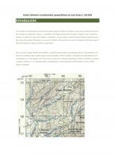
Como obtener coordenadas geográficas
Map / Coordinate System
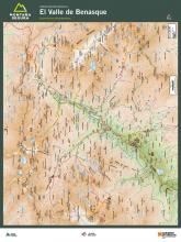
Exc Benasque Experimentados
Mountains / Physical Geography
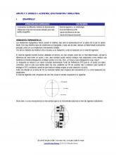
Clase 10 12 Nivelaciones
Topography / Scientific Observation

NIVELACIÓN TOPOGRÁFICA
Sea Level / Topography
CURVAS DE NIVEL APLICADO A LA TOPOGRAFÍA
Topography / Curve
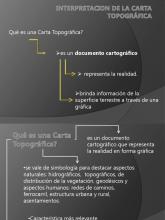
Interpretacion de La Carta Topografica
Topography / Map

Topografia y Geodesia - Diferencias
Geodesy / Topography
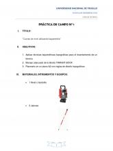
Procedimiento de Un Levantamiento Topografico
Topography / Curve
“Levantamiento Topográfico Por Radiación
Topography / Geomatics
topografia investigacion!!
Measurement / Topography
Compensacion Nivelacion Por Minimos Cuadrados
Equations / Topography
Informe de Nivelacion Simple Compuesta
Topography / Measurement
Trabajo de Topografia Manejo y Uso Del Teodolito
Topography / Scientific Observation
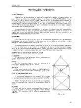
TRIANGULACION -resumen.pdf
Triangle / Measurement
