Topography
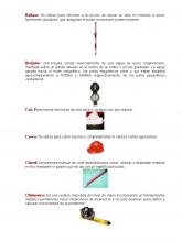
Herramientas Instrumentos y Equipos Topograficos
Global Positioning System / Compass
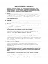
Simbolos Convencionales en Topografia
Symbols / Drawing
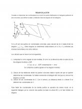
triangulacion
Measurement / Azimuth
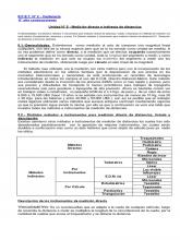
File 006a9baa68 2405 Topografia y Obras Viales Unidad 5
Measurement / Laser
Pract N1 Reconocimiento de Instrumentos Topograficos
Global Positioning System / Surveying
Alineamientos Entre Dos Puntos - TOPOGRAFIA
Topography / Surveying
Introducción a al topografía
Azimuth / Topography
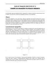
DISEÑO DE DRENAJE PUVIAL URBANO
Topography / Hydrology
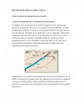
Métodos de Nivelación y Perfil
Topography / Line (Geometry)
ITT Trazo y Replanteo
Topography / Geography
Practica Topografía Nivelación Compuesta
Topography / Science (General)
Historia de La Topografia
Topography / Nature
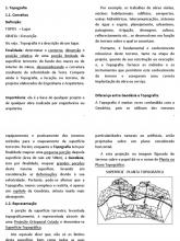
Topografia Eng. civil 2ª aula 18-02-2010
Topography / Earth
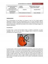
-LEVANTAMIENTO-DE-CHIMENEAS-Teoria (1)
Compass / Topography
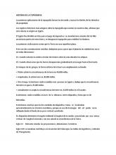
Historia de La Topografia
Topography / Longitude
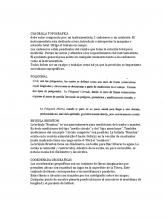
Topografia Trabajo 1
Azimuth / Topography
Pts Replanteo y Deteccion de Metales Mesa 30
Ambulance / Topography
Procedimiento Topográfico de un Botadero
Topography / Welding
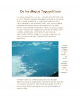
De los Mapas Topográficos
Map / Topography
Levantamiento Topografico a Wincha
Topography / Measurement
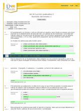
Act 8 Lección evaluativa 2 TOPOGRAFÍA
Azimuth / Topography
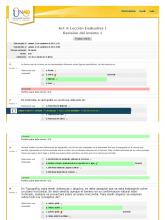
Act 4 Lección Evaluativa 1 TOPOGRAFÍA
Map / Topography
