Surveying
compensacion de cotas
Visualization (Graphics) / Topography
levantamiento topografico
Topography / Geomatics
Levantamiento topográfico
Topography / Geomatics
Calculos en Topografia
Geomatics / Scientific Observation
LEVANTAMIENTO TOPOGRAFICO POR METODO DE RADIACION
Measuring Instrument / Geomatics
Historia de la topografía
Surveying / Topography
Levantamiento Topográfico Por Radiación Simple
Topography / Geography
439_INSTRUMENTOS DE TOPOGRAFÍA Y SU HISTORIA
Surveying / Scientific Observation
Sílabo Del Curso Topografía II
Topography / Scientific Observation
Topografia II - Exercícios
Visualization (Graphics) / Surveying
Informe de La Practica de Topografia 3
Geography / Equipment
Pasos nivelacion Geometrica
Earth Sciences / Earth & Life Sciences
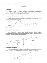
Altimetria Eng Civil 2012
Cartography / Earth Sciences
“Determinación de precisiones con receptores topográficos y Estaciones Permanentes GPS” - Alvis Rojas et all
Global Positioning System / Surveying
LEVANTAMIENTO TOPOGRÁFICO
Surveying / Geomatics
Pract N1 Reconocimiento de Instrumentos Topograficos
Global Positioning System / Surveying
Alineamientos Entre Dos Puntos - TOPOGRAFIA
Topography / Surveying
Introducción a al topografía
Azimuth / Topography
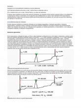
Nivelación
Surveying / Geomatics
-LEVANTAMIENTO-DE-CHIMENEAS-Teoria (1)
Compass / Topography
Topografia Trabajo 1
Azimuth / Topography
36391261 Nivelacion Geometrica Simple o Diferencial Jhon Carlos Mogollon Valladolid
Scientific Observation / Surveying
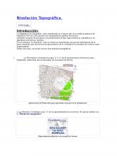
Nivelación Topográfica.docx
Topography / Geodesy
