Geodesy
LEVANTAMIENTO TOPOGRAFICO 12
Topography / Geodesy

La topografía como ciencia
Geodesy / Topography
Topografia Trabajo 1
Coordinate System / Azimuth
Calculos en Topografia
Geomatics / Scientific Observation
Levantamiento y Replanteo Topografico
Earth & Life Sciences / Physical Geography
LEVANTAMIENTO TOPOGRAFICO POR METODO DE RADIACION
Measuring Instrument / Geomatics
Tipos de nivelación.docx
Geomatics / Scientific Observation
Transformación de Coordenadas.docx
Coordinate System / Geographic Information System

Informe Nivelación Topográfica
Topography / Geodesy
Levantamiento Topografico Por El Metodo de Radiacion[1]
Measurement / Topography

Planimetria Trabajo 3 1
Topography / Geodesy
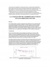
Los levantamientos topográficos
Global Positioning System / Topography
07122011GENERALIDADES DE LA TOPOGRAFÍA
Topography / Global Positioning System
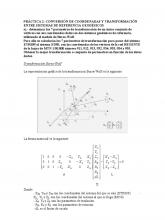
Conversión de Coordenadas
Standard Deviation / Variance
Topografia, Resumen
Measurement / Topography
Levantamiento Topografico Con El Uso de Gps
Global Positioning System / Topography
Normas de Dibujo Topográfico en Ecuador
Geodesy / Coordinate System
GENERALIDADES DE LA TOPOGRAFÍA
Topography / Geodesy
La topografía
Geodesy / Nanotechnology
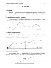
Altimetria Eng Civil 2012
Cartography / Earth Sciences
Densificacion de Redes Topograficas
Geodesy / Triangle
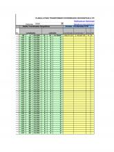
Hoja de Excel Para Convertir Coordenadas Utm a Geograficas
Cartography / Geomatics
Nivelación
Surveying / Geomatics
